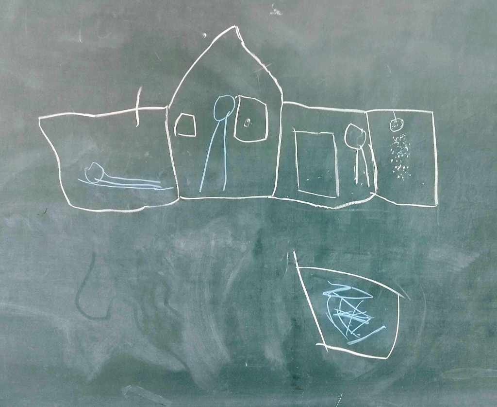
An unidentified drawing of a house in a college classroom, 2025
This page collects various geonarrative mapping stories by students, activists, academic faculty, artists, and various other individuals and collectives around the world. It promotes alternative kinds of mapping that make visible multiple stories of place, identity, situation, ideology, perfomativity, and pinning what can be pinned from the elusiveness of non-representation.
We are often confronted with the idea of maps as graphical representations of the earth, and by extension landscape, territory and the spatial extents of tangible objects that manifest various forms of materiality. But the spatial turn empowered critical geographers to think of map and territory as constitutive and interwoven having relational and processual linkages and engagements. Making visible geo-referenced points is the goal of conventional cartographers but recent decades showed how resistance to hegemonic order, decoloniality, shifts in knowledge production also consider the slippages, the ruptures and the fissures that conventional maps (mass)produce allow for recognition of erasures and omissions along the cartographic lines of a map. There is a lot of stories that can emerge from these subjugated knowledges that were rendered invisible through time.
Our project is a modest contribution to creating newer avenues for map production by the inclusion of stories. Geonarratives is a way of acknowledging stories that underpin each visual image. According to Joseph Palis (2022), the inclusion of stories in cartographic production is a form of place-writing where “subjective stories that define, portray, delineate, emphasize, expand, rewrite, and imagine a place” (p. 700). The importance of narrative to enrich the 2-dimensionality of a map is how narrative bolsters critical spatial thinking that encourages an enriched engagement with events, locations, behaviors, and situations and a mindfulness of one’s place in the midst of these interlaced physical, cultural and psychological phenomena.
These deep dives into map narratives not only understand the limitation of technology in storying complex lifeworlds but they crucially form a reflexive understanding and recognition that spatially framed realities can be viewed from a multiplicity of viewpoints and perspectives.
The GeonarrativePH team led by Joseph Palis and co-convened by Dominique Amorsolo, Fernand Hermoso and Christelle Bautista continues to curate various map stories whether they are dream geographies, necroscapes, social movements, artistic cartographies, minoritarian alternatives, ghost stories, spectral narratives, posthuman landscapes, and fictive geographies. The names of map makers will be anonymised for data privacy and for ethical research practice, unless the map storytellers give their consent to publish their names.
-
Creating a fictional city
Fictional cities … invite us to explore extraordinary urban landscapes that either defy the constraints of reality or let us better examine them. The Other Atlas The city can be an imagination. In most science fiction films, a city is transformed to resemble a space with radically changed structures, citizenry and functionalities (Sobchak, 1988). Framed… Read more
-
Autobiographical memories of places
Memories of place can produce different social ramifications for different people. On one hand, nostalgia can play a significant role in reminiscences that can romanticise places (see also what media scholar John Fiske said about indulging in nostalgia); on the other hand, there is a propensity for ‘appropriating places’ through the visual recollection of places… Read more
-

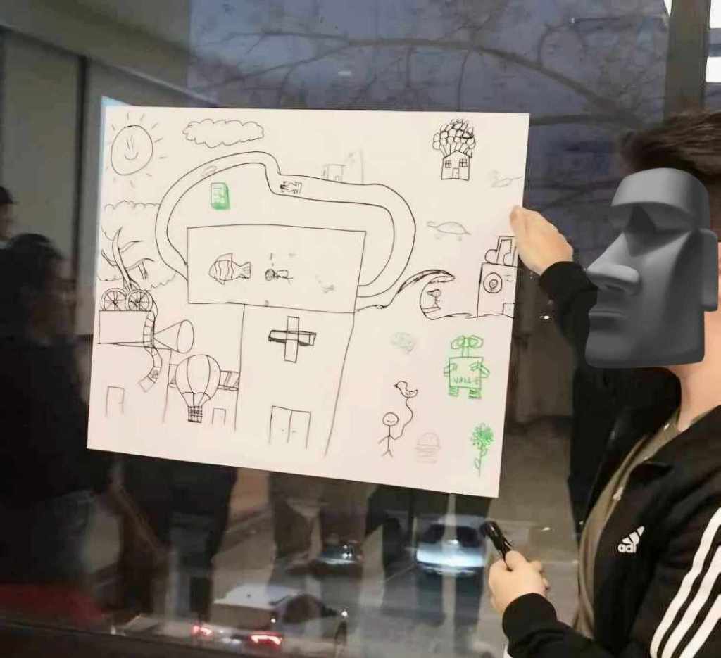
UP captured on 15 x 10 cm papers
“Micro” Mapping of UP Diliman In two undergraduate Geography 1 (Places and landscapes in a changing world) classes, micromapping the campus was instituted and assigned by Assistant Professor Fernand Francis Hermoso not only to assess the students’ highly subjective cartographic imagination of their campus, but also enable them to concretise in visual form various representations… Read more
